Roman Road North Side

The contrast between the remains of a Roman bath house and the 1970s flats at Roman Court on Roman Road in Bearsden make an interesting contrast. But what was there before the flats?
Having searched high and low on the internet over several years I could not find anything. Fortunately, the Britain from Above website includes several aerial photos that give a general idea. I've presented them in the date order in which they were taken.

This is a 1928 view from roughly above Asda on Milngavie Road looking back towards Bearsden Cross. Roman Road runs across the bottom left corner and a car is approaching the corner of Grange Road. To the right of the road as we look, the north side, are the villas replaced by Roman Court. I believe Manse Burn is just visible through the trees at the rear of the villas.
If you are a little disorientated, this is the same view but with a little less magnification and a wider context:

In the top left corner you can see the rear of the school at Bearsden Cross, then Bearsden Public School (I believe). Note the distinctive shape of Horseshoe Road just this side of the school. The houses on the south side of Manse Road are just visible on the right. The railway from Bearsden to Hillfoot runs across the bottom left hand corner. Note Roman Road involved a sharp right hand bend at the very bottom of the photo - the branch now called Roman Drive that meets Milngavie Road by Hillfoot Station did not exist.
The second photo is from 1952:

We are looking from the south, so Bearsden Cross is just out of shot to the left (see photo below) and Roman Road runs left to right across the photo (best seen centre left at the junction with Horseshoe Road).
Here is the same view with more context:

Bearsden North Church is at the far left of the photo. You can follow Roman Road from the Cross, then there are trees, then the first of the houses (which is still there). The 'lost villas' are to the right of this one. The new houses on Ralston Road are visible at the top of the screen.
The third photo is from 1955:

As with the first photo from 1928 we are looking from east to west along Roman Road with Milngavie Road below us.
Here is the last photo, also from 1955 and showing the view from the south (similar to the second photo from 1952):

And from the 1940 Valuation Roll, we can give the villas names. From left to right they are Cairnbank (number 29), Struan (31), Old Auchendrane (33), Torran Mor (35) and Wellwood (37):

Cairnbank is still standing:


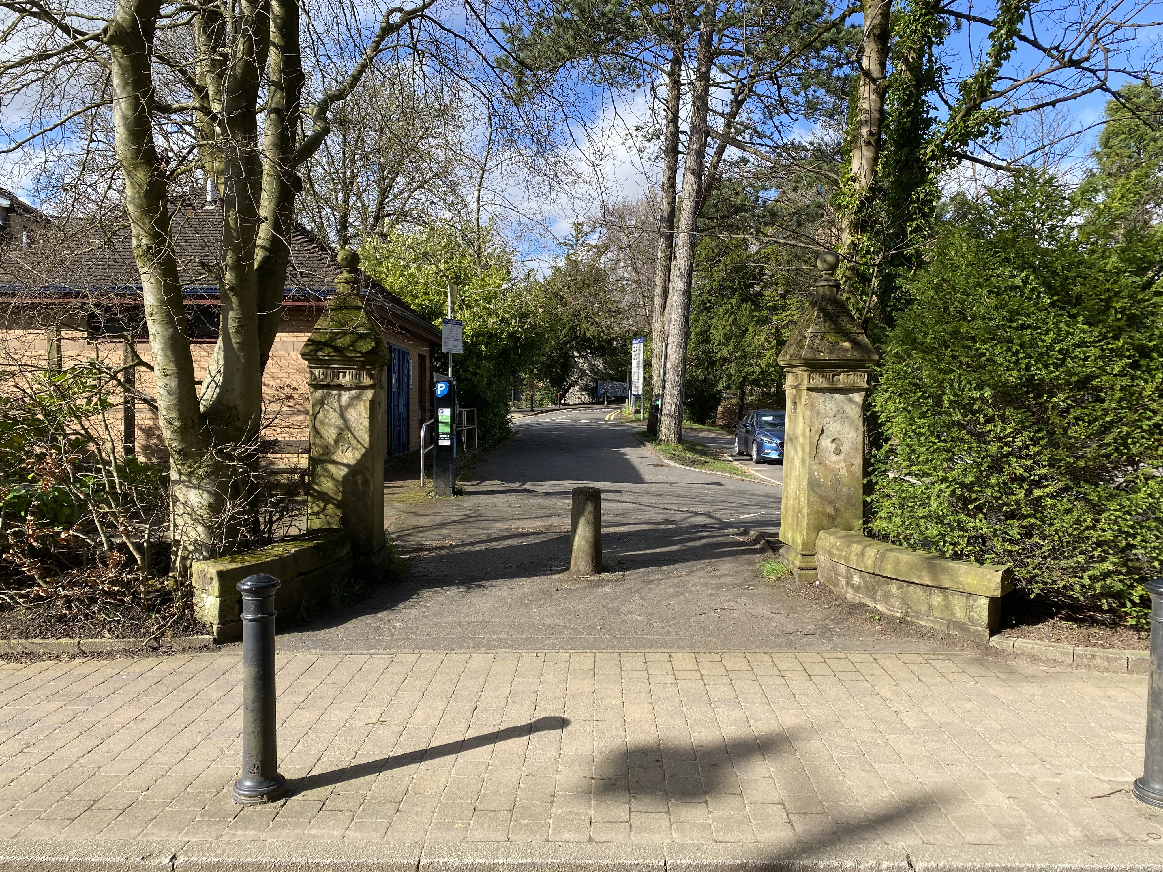
The car park on Roman Road was once the front garden of Cairnbank:


I am delighted to see the property, Old Auchendrane, on Roman Road, in your superb blog. For
ReplyDeleteyears, I have tried to find information and photos of the house, which was occupied by some
of my ancestors (on my late father's side) in the 19th century. Thank you very much.